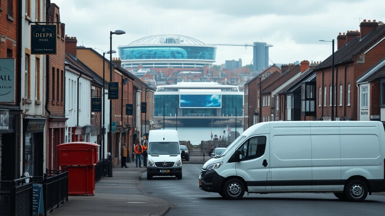
Drainage in Hull
Hull's drainage challenges are among the most demanding in East Yorkshire, shaped by a city built on flat, low-lying land at the meeting point of the River Hull and the Humber Estuary. Much of Kingston upon Hull sits at or below the level of high tides in the Humber, which means the city has never relied on gravity alone. A network of land drains, pumping stations and gravity sewers works together to move water away, and when any part of that system is under pressure, properties feel it quickly.
The ground beneath Hull is soft alluvial clay, silt and warp deposits rather than rock, with a naturally high water table across most of the city. This makes excavation comparatively easy but trench walls unstable, and groundwater frequently seeps into open workings. The same soft, water-bearing ground causes gradual settlement that stresses older clay and pitch-fibre pipework over time, opening joints and creating the low spots where waste collects.
Hull's housing stock spans every era of drainage practice. The dense Victorian and Edwardian terraces of west Hull around Hessle Road, and the tree-lined Avenues off Newland Avenue and Beverley Road, sit on long shared clay drain runs that are now well over a century old. Inter-war semis, the large post-war estates at Bransholme, Orchard Park and Sutton, and modern developments at Kingswood and around Victoria Dock all bring their own pipe materials and failure patterns, from salt-glazed clay to pitch fibre to modern plastic.
Surface water is Hull's defining risk. Older districts are served by combined sewers that carry foul and surface water in the same pipe, and during intense rainfall these can surcharge and back up into low-lying properties. The June 2007 floods, when thousands of Hull homes were inundated by surface water that overwhelmed the drainage network, remain the clearest reminder of how quickly the system can be tested. Yorkshire Water is the water and sewerage undertaker for the city, while the Environment Agency manages tidal and main-river flood risk on the Humber and the River Hull.
The tidal Humber adds a further complication. When the estuary is at high water, outfalls that discharge to the river can become tide-locked, temporarily holding water back in the network. Properties close to the estuary, the marina and the tidal River Hull benefit from non-return valves and well-maintained surface drainage to guard against backflow during the combination of high tides and heavy rain.
Our local engineers understand Hull's distinctive drainage character. We work with ageing clay and pitch-fibre pipes across the terraces and estates, manage root intrusion in the leafy Avenues, and address the tidal and high-water-table challenges of properties near the River Hull and the Humber. Whether your property is a Victorian terrace off Beverley Road, a 1930s semi in Anlaby, a post-war home in Bransholme, or a modern flat at Victoria Dock, we bring expertise tailored to Hull's low-lying, water-managed landscape.