Drainage in Hessle
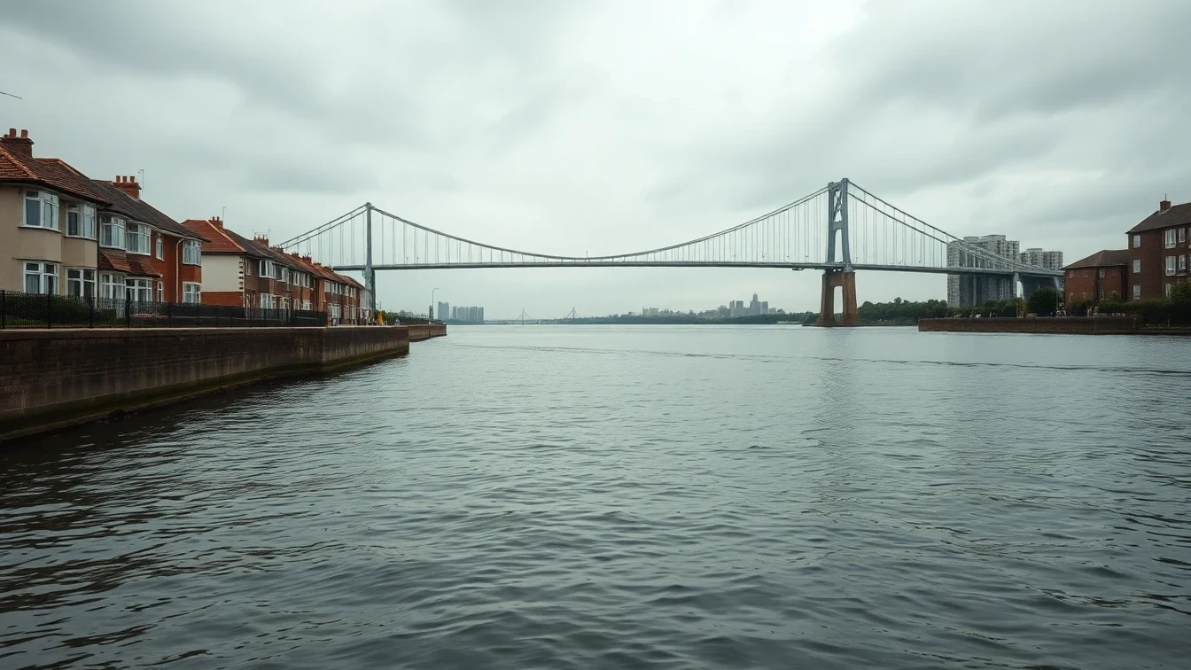
Hessle sits on the north bank of the Humber immediately west of Hull, at the northern landfall of the Humber Bridge. Its drainage is shaped by two things above all: the tidal estuary along its southern edge, and the chalk that comes to the surface in the old quarries of the Humber Bridge Country Park, locally known as Little Switzerland. Between the high estuary bank and the higher chalk ground to the north, the town occupies a transition zone that gives it a varied and demanding drainage profile.
The tidal Humber is the dominant influence for properties near the foreshore. This part of the town sits low against the estuary, where the water table is high and drainage outfalls can become tide-locked when the Humber is at high water. During the combination of a high tide and heavy rain, water can be held back in the network, so properties along Cliff Road and the streets running down towards the foreshore are more exposed to surface water backing up. Hessle Haven, the historic watercourse marking the boundary with Hull, has long helped carry surface water down to the estuary.
The older core around Hessle Square and All Saints Church is served by ageing clay drainage, with salt-glazed pipes running beneath streets that have been built and rebuilt over generations. Victorian villas and terraces here sit on long clay drain runs where joint failure, silting and root intrusion from mature gardens are all common. Because the ground varies from chalk in the north to soft estuary deposits in the south, drainage behaviour and excavation conditions can change noticeably across the town.
Inter-war and post-war housing fills much of Hessle between the old centre and the modern estates, typically using clay drainage with some pitch-fibre runs from the mid-twentieth century that are now reaching the end of their service life. The newer developments on the town's edges have modern plastic systems laid to current standards, but they connect into the same low-lying, estuary-influenced network.
Yorkshire Water is the water and sewerage undertaker for Hessle, while the Environment Agency manages tidal flood risk on the Humber. For a town wrapped around the north bank of the estuary and the Humber Bridge, understanding tidal influence, high water tables near the foreshore, and the mix of chalk and soft ground is essential to keeping drainage working reliably.
Our engineers know Hessle's estuary-side character well. Whether we are protecting a foreshore property against tide-locked backflow, relining a clay drain beneath a villa near Hessle Square, or checking a modern connection on a newer estate, we bring drainage expertise matched to this distinctive Humber-bank town.